Recently viewed items:
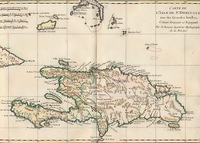
Carte De L´Isle De St Domingue
St Dominguo. Carte De L´Isle De St Domingue, une des Grandes Antilles, colonie francaise et espagnole, par M. Bonne, Ingénieur-hydrographe de la Marine. Original fold map by Rigobert Bonne. Geneva, 1780. Restored holes in the upper margin. Copper engraving. Hand-coloured. 32x21cm. Matted.
Sold
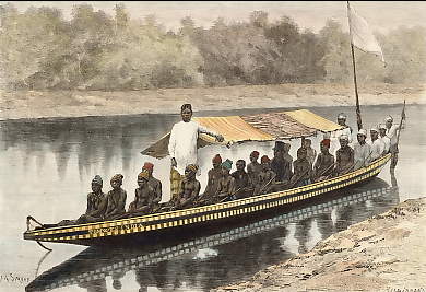
Barque Sur Le Vieux Calabar
Nigeria. Original wood engraving, engraved by Hildibrand after A. Sirouy. 1887. Good condition. Hand-coloured. 19x13cm. Matted.
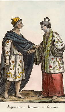
Japonnais, Homme et Femme
Japan. Original copper engraving. 1812. Very good condition. Hand-coloured. 11,5x7cm. Matted.
 +49 40 4204212