Recently viewed items:
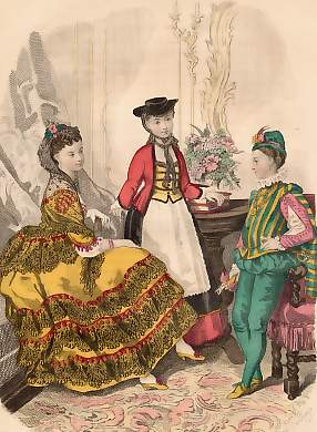
Magasin Des Demoiselles
France. Original lithograph by Marie Denne Baron after Anais Toudouze. 1870. Good condition, overall age toning. Original hand-colouring, 20x14,5cm. Matted.
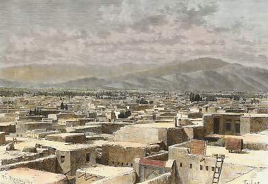
Hamadan, et L´Elvend, Vue Prise Du Toit D´une Maison Arménienne, Au Sud-est
Persia. Original wood engraving drawn by Taylor, engraved by Kohl. 1884. Good condition. Hand-coloured. 18,5x13cm. Matted.
 +49 40 4204212

